 |
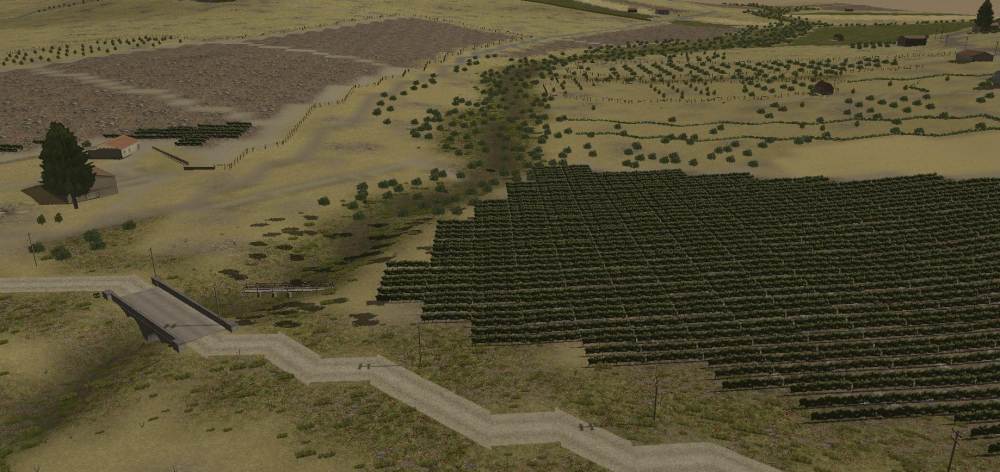
CMFI Map - Rural area east of Gela |
|
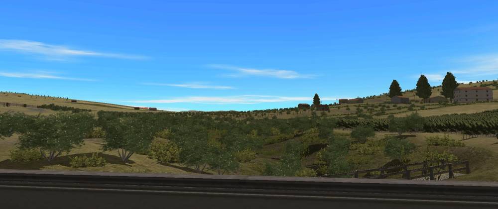
CMFI Map - Rural area east of Gela |
 |
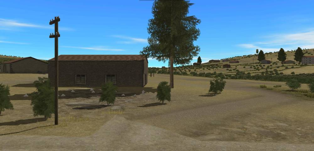
CMFI Map - Rural area east of Gela |
This is just a plain map 1km by 1km based on Google Earth images of Sicily East of Gela. The map is centred around the location: Lat: 37° 3’30.19″N Long: 14°22’26.46″E
The Scenario Depot III
BattleFront Community Thread
Google Map
 Whose Turn Is It?
 Wizard's
Familiar
Wizard's
Familiar Tray Clock